In the ever-evolving landscape of measurement technology, drones are transforming industries across the board, revolutionizing various sectors, including the AEC industry. These devices, also known as Unmanned Aerial Vehicles (UAVs), have become essential for reality capture and remote sensing, allowing experts to gather high-resolution images and information from previously inaccessible angles. These cutting-edge systems have improved accuracy and efficiency, unlocking new opportunities for data collection and analysis.
In this article, we interview drone specialists Bailey Nelson and Dasan Hood Beckman to learn more about how drones are continually advancing the industry and what it takes to become an expert.
Q&A
What are some of the benefits of using drones?
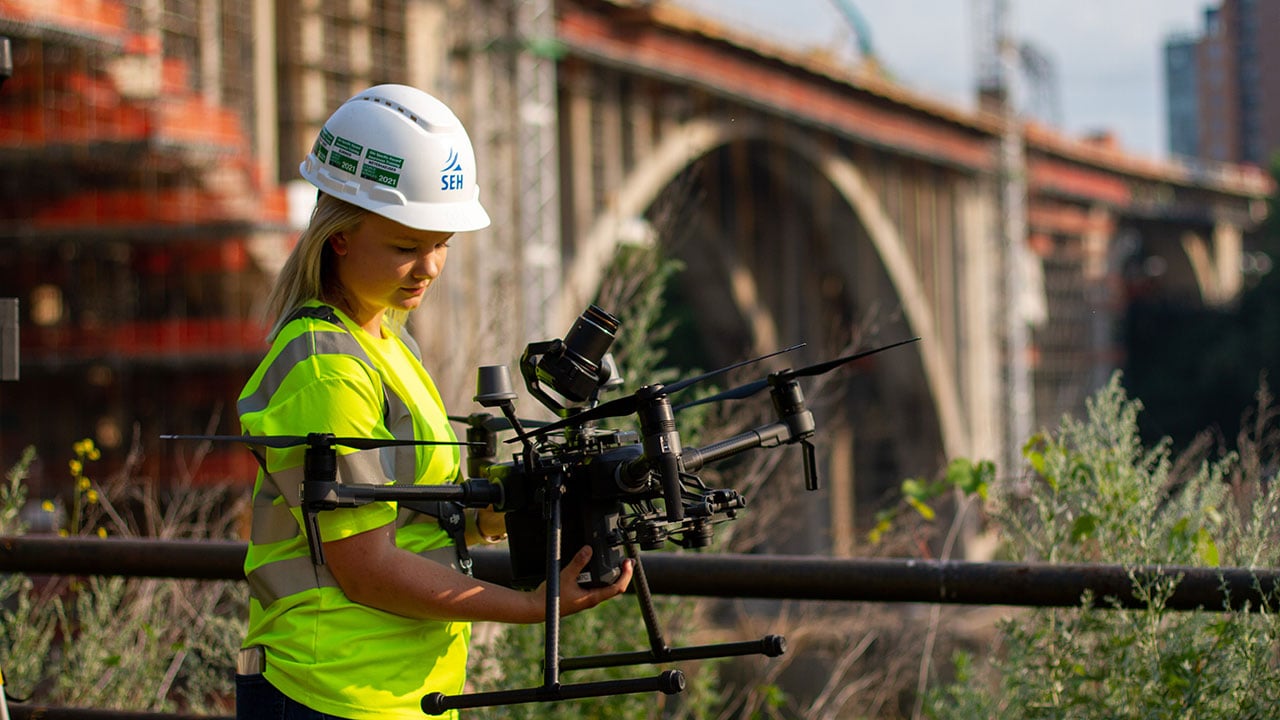
Bailey: Using drones offers numerous advantages for our projects. They provide us with unique overhead views with a different vantage point, allowing for better visualization and planning. This reality capture and remote sensing technology can easily access hard-to-reach areas where we don’t have the ability to have boots on the ground. They also enable us to cover large project areas in a fraction of the time it would take using traditional methods, significantly improving our efficiency. Most importantly, by utilizing drones, we can keep our staff safe by reducing their need to enter potentially hazardous areas. This combination of enhanced safety, efficiency, and comprehensive coverage makes drones invaluable for our operations.
Dasan: We have a varied and constantly expanding fleet of drones to serve our client’s unique needs. We regularly visit ongoing construction projects to capture up-to-date footage as the worksite evolves. SEH also uses data from drones to build digital 3D models of real-world locations. This allows us to evaluate topographic data, forecast watersheds, and evaluate above-ground obstacles.
Share an example of a time when you addressed a significant challenge for a client or helped them achieve substantial cost savings.
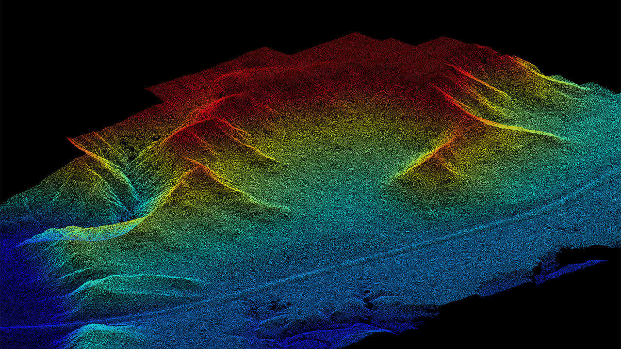
Bailey: One of our clients aimed to develop a 500-acre site, which was currently owned by farmers who wanted to preserve their land for one of their final harvests. To accommodate their needs, we employed drone-based LiDAR, a method for determining distances by targeting an object with a laser and measuring the time it takes for the reflected light to return. This approach enabled us to gather the necessary topographic data without disturbing the land. For areas requiring higher accuracy, we collaborated with SEH's survey team to merge the data.
Dasan: SEH works with the City of Boone, Iowa, to help with their wastewater and water plants. There are many different types and sizes of buildings that cohesively work to treat the water for the community. The roofs need inspection and servicing from time to time, and in the past, that would have involved individuals climbing up ladders, or operating boom trucks, over the course of day(s). SEH was able to utilize our drone fleet to get it done in a couple of hours.
Related Content: SEH Drones Services
What are some of the skills or qualifications required to become a drone specialist?
Bailey: To pilot a drone commercially, obtaining a Part 107 certification from the FAA is required. This certification process includes a proctored exam that covers knowledge about airspace, weather, limitations, and rules. Additionally, having skills in camera settings, hands-on drone operation, and the basics of photogrammetry and LiDAR is very helpful.
Dasan: In addition to Part 107 Certification, experience outside of drones will help get you hired. Video editing, photography, and an aviation background in general are all valuable skills to have that would make you stand out as a candidate to work as a drone specialist.
What does a typical day look like for a drone specialist?
Bailey: Coordination is a major part of the role. I handle requests from clients and internal project managers, gather detailed information about the project, and provide scope and fee estimates. I also determine whether a drone is the appropriate tool for the task. If not, I will collaborate with my SEH colleagues in the reality capture group to identify the best alternative methods.
Additionally, I provide support to all new drone pilots at SEH. I ensure they have the necessary equipment and training to conduct their drone flights effectively. This thorough approach instills confidence in our team, helping us maintain high standards and deliver accurate results for our projects.
Dasan: Every project we go to is different, and project managers usually brief us on what exactly we are trying to capture. The knowledge we need to ascertain is:
- Where is this project? We need to check the airspace to see if there are any restrictions to flying near the project. As we get closer to the day we plan on flying, we check weather forecasts/observations.
- What is this project? We can broadly categorize the type of flying we do into two groups: Photos/videos, and mapping. Once we determine the client's needs, we can select the type of drone and equipment needed.
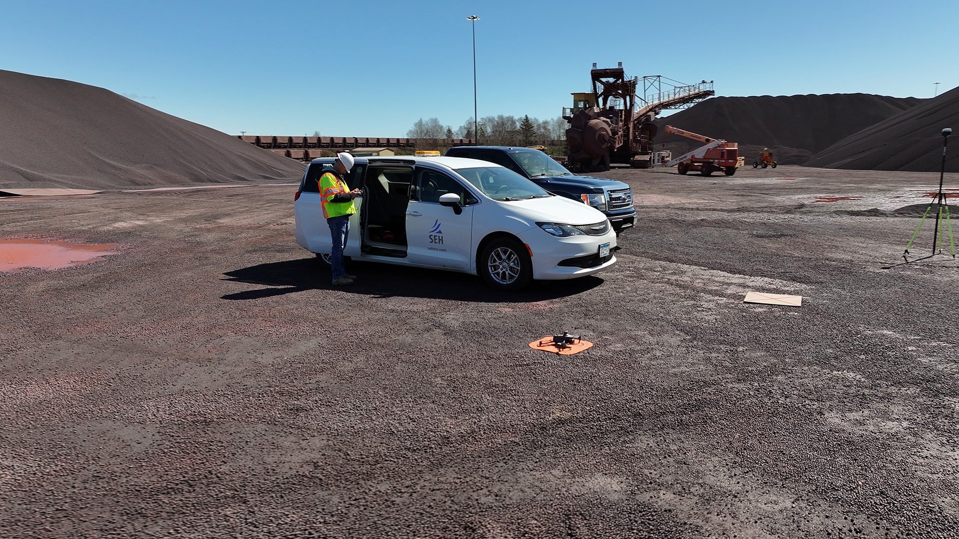
With all the necessary information at hand, we are ready to execute the project. The process of gathering photos and videos is straightforward, much as you might expect. However, collecting 3D data is more complex. We strategically place GPS equipment around the project area, create a mission for the drone to fly, and allow it to fly autonomously. The subsequent data processing to create a georectified 3D model is a task that requires our full attention.
Flying to the Finish
Drones are revolutionizing the industry by providing new ways to collect, process, and use data. This measurement technology can help architects, scientists, surveyors, engineers, and other professionals improve their efficiency, quality, and safety and discover new solutions and opportunities.
If you want to learn more about how drones can help your project, we have a team of experienced and certified experts who can assist you with your drone needs.
About the Authors
Bailey Nelson is a Part 107 certified Drone Operations Specialist and Project Manager at SEH. With five years of experience in the drone industry and a background in aviation, she also holds a private pilot license. Additionally, she collaborates with SEH staff and external clients to develop drone-related solutions for engineering, planning, and natural resources challenges.
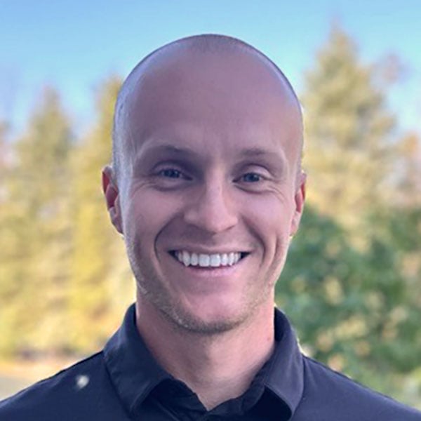
Dasan Hood Backman is a Commerical Pilot and Part 107 Drone Specialist at SEH. He has accrued thousands of hours in both manned and unmanned aircraft over the past decade. He enjoys being in the field, documenting various SEH projects.

.png?width=113&name=SEH_Logo_RGB%20(1).png)
